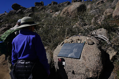
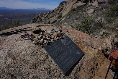
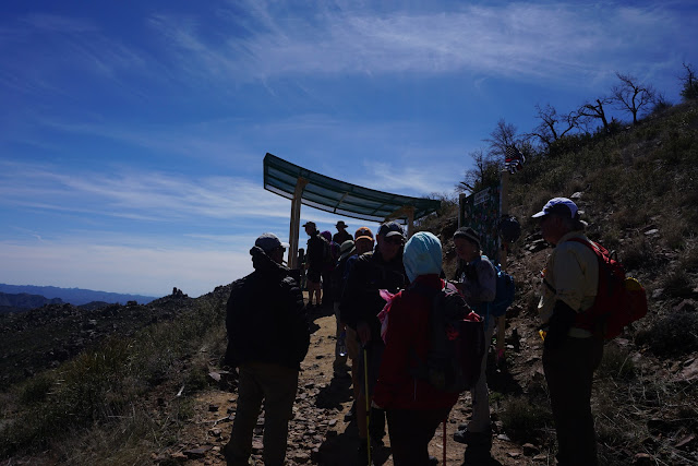
Hotshots Trail, Granite Mountain near Yarnell - 8.3 miles to the memorial below.
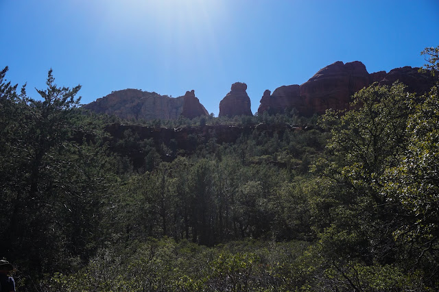
Sedona - Long Canyon Trail Hike - 9.4 miles from Mascal Trailhead to the end of Long Canyon Trail.
 |
| At the Red Rock Ranger Station |
 |
| Mescal Trailhead joins the Long Canyon Trailhead |
PALM CREEK HIKERS - Mailout
March 15th, Sedona Weekend
It’s Arrived, Our Yearly Overnight Adventure!!! Two new hikes in the Sedona area this year, on Friday we will hike the Granite Mountain Hotshots Memorial Trail near Yarnell, Arizona, and on Saturday the Long Canyon Trail #122 near Sedona. Once again the Lodge at the Cliff Castle Casino near Camp Verde will be our overnight accommodation.
We will be leaving the normal spot in the parking lot at 7:00 AM!!!
Some of us will be meeting for breakfast at Denny’s at 6:00 AM, all welcome!
Directions: Take I-10 north for 46.8 miles, Exit 150A onto I-17 N. Follow I-17N for 30 miles to Exit223, AZ-74 Carefree Highway. In another 30 miles turn right onto US-60 for 10 miles, turn right onto US-93 for 6 miles and then right onto SR-89 for 12 miles. Due to the small parking lot at the actual Memorial site, we will be catching a shuttle at the corner of Shine Drive & AZ89 in Yarnell. A fee is a recommended $5.00 donation per person round trip.
On June 28, 2013, a fire broke out in the Weaver Mountains near Yarnell. The fast-moving fire was assigned to the Granite Mountain Hotshots. Sadly, winds shifted and the Hotshots were trapped in the middle of the fire. In 2015, Arizona State Parks purchased 320-acres of land where the fire occurred in dedication to the 19 fallen Hotshots. The park opened to the public on November 30, 2016.
After the hike, we will continue on to the Cliff Castle Casino
Directions: East on State Route 89 for 45 miles where you will turn right onto State Route 69. After 15 miles on SR 69, you will turn left onto SR 169. Follow SR169 for 14 miles to I-17, head north to Exit 289, 10 miles, and then continue onto Hotel.
03/09/2019 Long Canyon Trail Long Canyon
Directions: Head north on I-17 9 miles to exit 298, SR 179. We will have to stop at the Red Rock Ranger Station and get passes (6 miles). After getting our passes we will turn left and head south for 2.3 miles to Beaverhead Flat Road (CR-78) where we will turn right and follow this for 6 miles to Cornville Road (CR-30). In 8 miles we will turn right onto SR-89A for 17 miles. Turn left onto Dry Creek Road for 3 miles, turn right onto Long Canyon Road and arrive at the trailhead in about ½ mile.
The trail ends after 90 minutes at a sandstone wall where there are a few small Indian ruins and some primitive pictographs. If you’re lucky enough to find them, leave them alone — it’s illegal to disturb them.
Skip’s cell: 503-580-3828 Barry’s cell: 207-205-4298
Hotshots Trail - All Trails
Granite Mountain Hotshots Memorial Trail on All Trails
Long Canyon Trail - All Trails
Long Canyon Trail in Red Mountain Secret Mountain Wilderness - Sedona
Google Maps to hike
Granite Mountain Hotshots Memorial State Park - Hike for Friday
Two ways to get to our Hotel - see Google Maps
Granite Mountain Hotshots Memorial to Cliff Castle Casino via Prescott
Granite Mountain to Hotshots Memorial Park to Cliff Castle Casino Lodge Where we stay on Friday night.
Google maps to hike
Long Canyon Trail from Cliff Castle Casino Lodge Hike for Saturday


