Fremont Saddle following Peralta Canyon Trail is a steady climb upwards through columns left from volcanic activity and millions of years of the erosion process. There were streams flowing after last week's snowfall as well as a few flowers along the way. On the way up, in order to have fewer hikers per group, we split up in two. Kevin leading the one and Barry leading the other.
Nancy's pictures from Kevin's Group
More at Lunch
Barry's Pictures on the way to Fremont Saddle
Most of the group went up to Geronimo's cave where Geronimo may have been when he was in hiding.
Barry's Pictures to Geronimo's Cave
Barry's pictures to the cave and down the Cave Trail. About 6 miles.
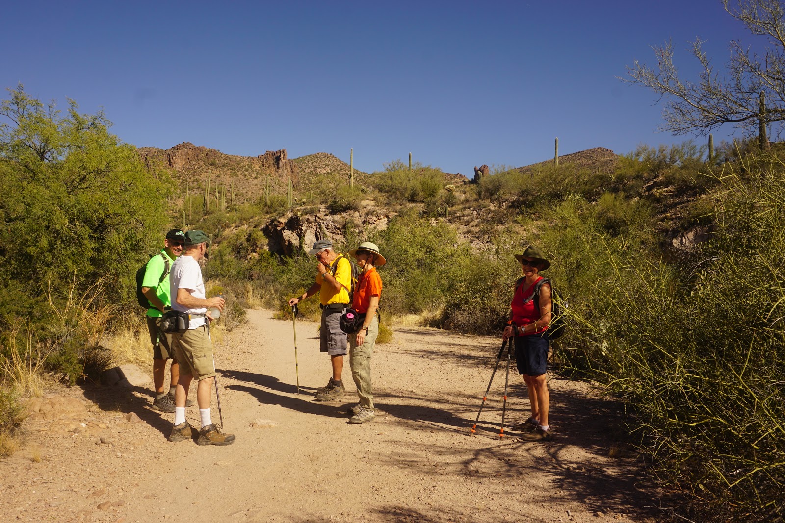
Nancy's pictures with the group coming down Peralta Canyon Trail after lunch
 |
| Looking up at Barry's Group on Cave Trail from Peralta Canyon Trail |
 |
| Looking up at Barry's Group when they were at Geronimo's Cave |
 |
| Hikers at Geronimo's Cave |
 |
| Name of this flower is - Blue Dicks |
 |
| Barry's group coming down Cave Trail to Peralta Trailhead |
 |
| 5.1 miles |

Mary Anne's Pictures of the Hike
Barb's Pictures of Barry's Hike


Driving Directions: Go north on Highway out of Florence. Go left (west) on Highway 60 at the Florence Junction. About 8 miles from the junction, at milepost 204.1, is the first traffic light and sign for Peralta Trailhead. Turn right at this light and proceed through the residential area and past the school, then on the gravel road to the trailhead a the end, about 7 miles. Pit toilets.
Google Maps to Peralta Trailhead to Fremont Saddle
Gaia Hiking Trails - Fremont Saddle Via Peralta Trail and Cave Trail
Summary: This is a very good loop hike up Peralta Canyon to Fremont Saddle with spectacular views of a valley area and Weaver’s Needle to the north from the saddle. The ascent to the saddle offers views of interesting rock formations and steep walls of the canyon. The return hike on the Cave trail is along the ridgeline and offers further spectacular views of the trail we took on the way up the canyon and into valleys on both sides of the ridge.
Next hikes:
Mar. 8, 2019 Fat Man’s Pass
Mar. 15, 2019 Sedona Weekend
Mar.22, 2019 Wrap Up Barbecue At Sports Pavilion 12:00 PM – 3:00 PM
Skip’s cell: 503-580-3828 Barry’s cell: 207-205-4298