Jerry's Pictures on Phoneline Trail
Mary Anne's Pictures


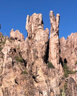
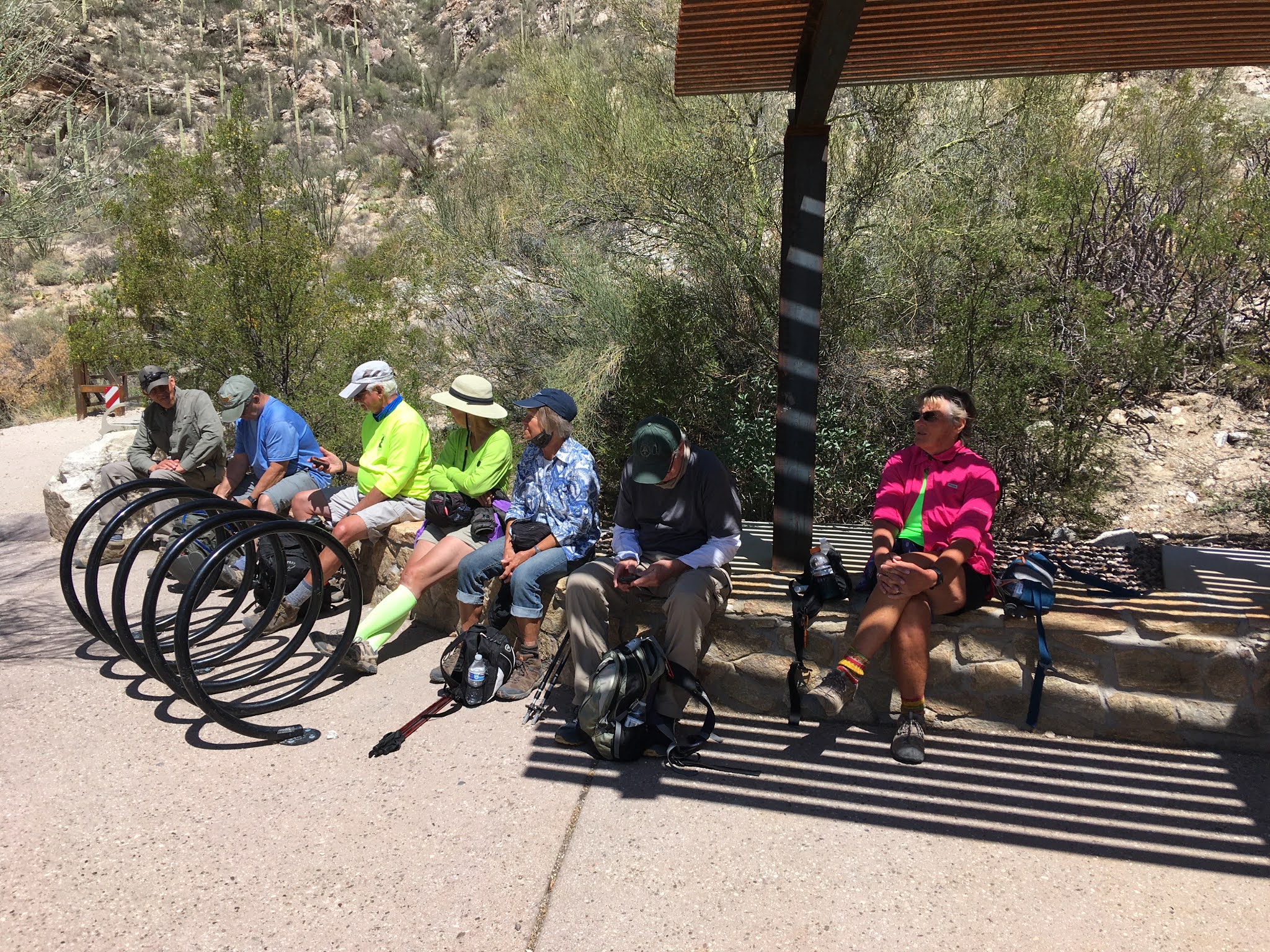
Phoneline Trail in the Sabino Canyon. I would like to meet at the mailboxes around 7:00 a.m. and leave at 7:15 a.m. so we can take the 9 o'clock shuttle as they only leave on the hour! The driving distance is about 70 miles and took approximately an hour and fifteen minutes. Parking is free if you have an America the Beautiful Nat'l. Park Pass and put on your dash. There is a $12.00 per person tram fee to the trailhead. A credit card is needed! I would rate the hike as moderate only because of the steep switchbacks the first half-mile. The trail is then fairly level and follows the canyon where the telephone lines were originally strung. Awesome views! Finally, there is a gradual drop back down to the intersection with the Bear Canyon Trail, # 29. We will then cross the bridge and hike to the visitors center. Often the bridge has a little water over it and I would strongly recommend putting two Walmart grocery sacks in your backpack to put over your boots if needed! There are restrooms at the Sabino Canyon Visitor's Center and at the top of the tramroad where the trail starts. The hike is somewhere between 5 and 6 miles.
Directions:
From I-10 and Florence Blvd. go south on I-10 to Exit 248, Ina Rd. Take Ina Rd east and it will become Skyline Dr. and then it will become Sunrise Dr. ( Don't worry, just stay on the same road until it comes to a dead end and turn left at the light on Sabino Canyon Rd. Sabino Canyon Visitor Center is a short distance on the right. (GPS: Sabino Canyon Visitor Center)
Short Hike:
Short hike around the trails on Casa Grande Mt. led by Reno and Denis. Their hike averages 3 - 4 miles and they are usually back to Palm Creek by noon. This hike will leave from central mailboxes at 8:00 a.m. this Friday and Hikers must have a Palm Creek Hiking Club Waiver. Try to be at the mailboxes by 7:45 a.m. to secure waivers.
March 27, 2021 Picnic
End of the season Hiking Club Picnic. Come and enjoy a picnic, Saturday, March 27 at the Sports Pavillion (we got booted from the Tennis) from 12;30 to 2:30 p.m. and get your hiking mileage certificates for 50 or 75 miles hiking with the club. It's a time to eat, drink, visit and share memories of the hikes. Family members and guests are invited.The menu is Kentucky Fried Chicken, Pizza, Potato Salad, Coleslaw and cake for desert. Paper plates, napkins, and eating utensils will be provided! All of this for 5.00 per person. We decided on a BYOB; beer, wine, pop, water, or whatever, as everyone has their preference. Please RSVP, if you haven't, as soon as possible so we can get a count for food and misc.
Remember: If for some reason a hike must be cancelled, you will receive an email by 6 a.m., Friday morning!
Jerry's Cell 307-630-0252
John's Cell 207-446-0650
Click on the link below to check out Nancy's Blogspot;
www.palmcreekhikers3.blogspot.com
Pictures and information from last week's hike, Pass Mountain Loop!)