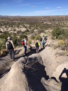
Important information for this hike
Palm Creek Hiking Club
Friday, February 7, 2020
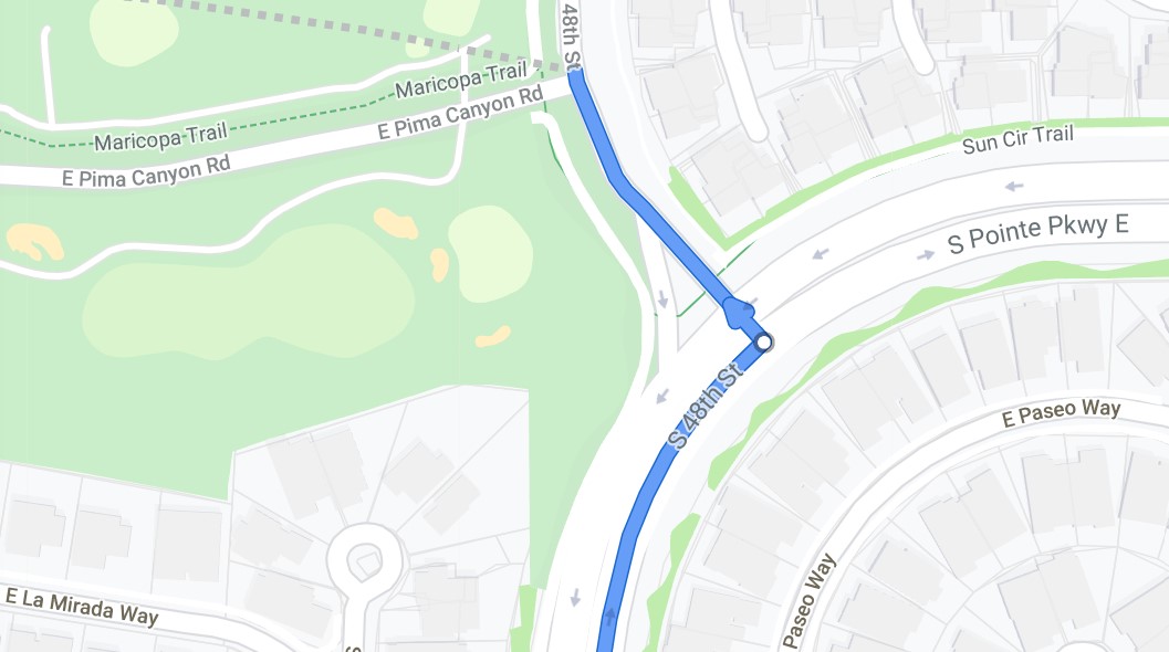
As noted in the first handout for this hike there is a Tram (now called Crawler) for this hike.
To assure places on the Crawler you need to buy your ticket online. There are only 56
spaces available so it is important to purchase the $12.00 ticket as soon as possible.
Each hiker has this responsibility. The website is www.sabinocanyoncrawler.com. When
purchasing the ticket you will need to select the 10:00 AM Sabino Canyon Tour.
To make sure we don’t miss the Crawler we need to:
- Leave Palm Creek parking lot at 8:00 sharp.
- Make sure a member in your car has an America the Beautiful Senior’s pass for National Parks. Go to the left-hand side at the gate if you have a pass. If you do not have a pass you pay $5.00 per car and you may have to wait longer.
- We all need to be at the Crawler departure site location at least 15 minutes before departure (9:45).
- Make sure you waste no time as you gather equipment and use the washrooms.
The Crawler goes to “stops” along the way where people can get off when they choose.
We will be riding to the end, which is stop 9. The Crawler’s last pick up at #9 is 4:30.
We need to be back in time. We will gauge our hike accordingly.
Please don’t be deterred by these arrangements. We want this beautiful hike to
be successful.