 |
| Picket Post Trailhead |
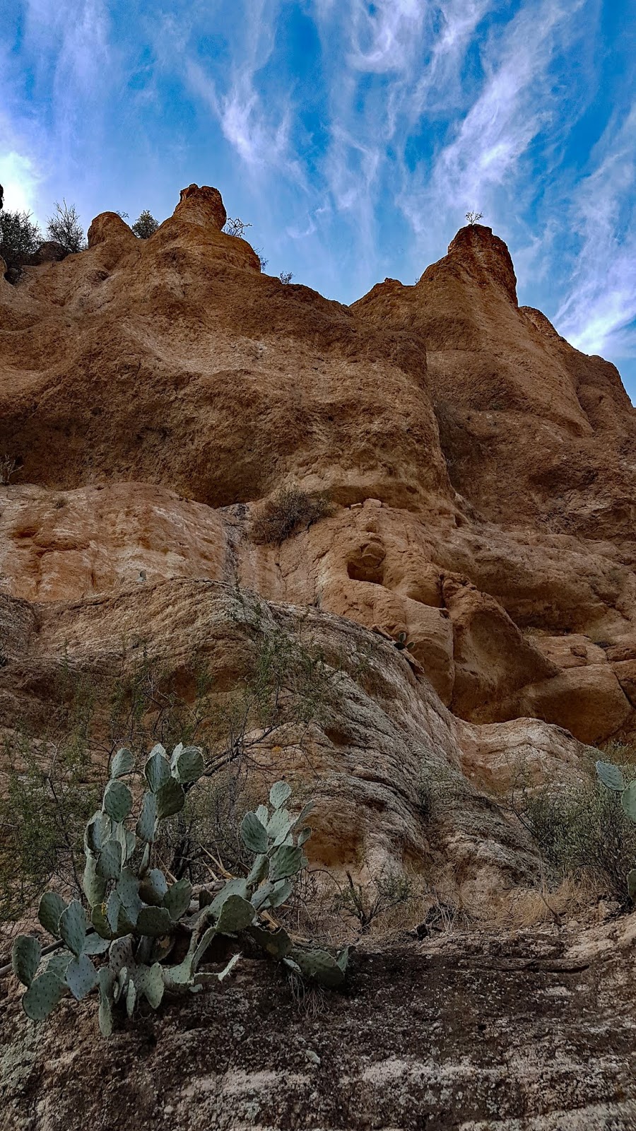
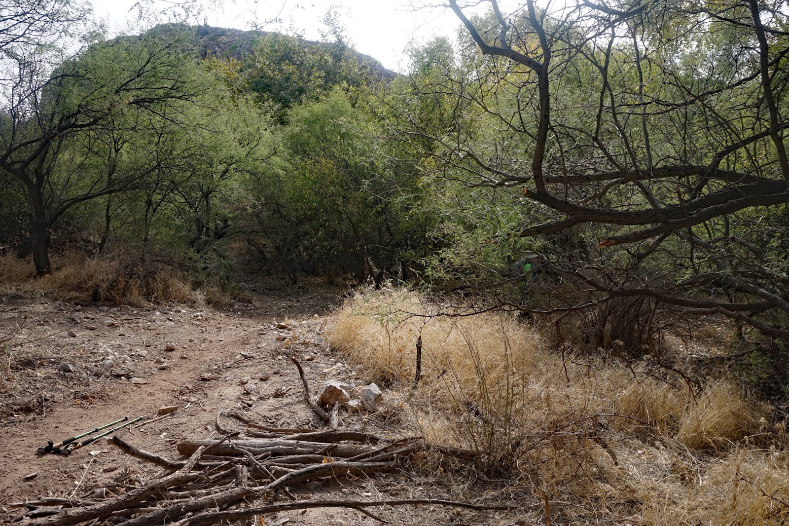
Long Hike - Picketpost Mountain Loop - The hike starts from the east side of the parking area to the left of the large Arizona Trail sign. This trail climbs to the east and across a wash towards the base of Picketpost Mountain. It is fairly shaded in the first part of the hike. About 1/2 way around the mountain the trail becomes rockier, with less shade. 9.1 miles. Leader - Dave
Short Hike - The out and back hike will start on the same trail as the long hike, stop for lunch and go back the way we came. Leader - Jerry
Casa Grande Mountain Hike
Skip and Penny went on a 4 mile hike at the north side of Casa Grande Mountain.
 |
| We can see both groups in this picture |

 |
| Short Hike Group + Nancy |


 |
| This large Saguaro marked the end of our short Hike - this was 4.2 miles. We headed back the way we came. |


 |
| Picket Post Mountain Loop - Data for Long Hike |
 |
| Picket Post Mountain Loop - Long Hike |
 |
| Graph from Picket Post Mountain Loop |
 |
| Data for Arnett Creek from Picket Post Trailhead - Short Hike |
 |
| Arnett Creek from Picket Post Trailhead - Short Hike - Out and Back - 8.4 miles |
 |
| Graph for Arnett Creek from Picket Post Trailhead - Short Hike |
Description of the hikes:
Casa Grande Mountain Hike - Will leave the parking lot at 8:00 and will be back before lunch. Directions to Casa Grande Mountain are on the Test your Ability tab on the Right.
Picket Post Loop Trail from All Trails Website
Driving Distance, Time and Directions to Picket Post Trailhead
Go right at the park exit and north on Henness Road 0.7 miles to Cottonwood.
Turn right and go east 2.8 miles to N Overfield Road. Turn left and go north 3.9 miles to
Woodruff Road. Go right and east 1.9 miles to Signal Peak road, turn left and go north 2.9 miles to
Hunt Highway. Turn right and go east 6 miles to SR79 at the dead end. Turn left and go north on
highway SR79 for 12.7 miles to Highway 60. Go right on Highway 60 for 9 miles and turn right at the
Picketpost Trailhead sign onto a dirt road. Drive 0.4 miles to a dead-end and Picketpost Trailhead
sign. Turn left and proceed for 0.6 miles. The road turns right into the parking area. It is 55 miles
and took 1:05 minutes. There are pit toilets.
Google Maps to Picket Post Trailhead


