Directions to Peralta Trailhead: Leaving Palm Creek main gate, turn right onto Henness Road. Turn Right onto Cottonwood. Next turn is left onto N Overton, then right onto W Woodward, then left onto N Signal Peak, then right to 87(287), then turn right onto N Attaway road at the lights, then right onto West Hunt, then left onto 79 and at the junction of 60 turn left (west) onto 60. After about 8 miles from the junction, turn right at the traffic light on East Peralta Road proceed through the residential area and past the school and onto a gravel road to Peralta Trailhead (about 7 miles). Pit toilets.
Google Maps to Peralta Trailhead.
Length of Hike 6.6 Miles


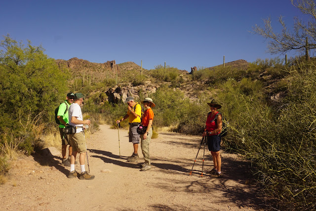
I have added pictures, map of the hike, data, Google map of the directions to trailhead and some comments about the hike.
ReplyDeleteExcellent documentation of our hike. Your picture are spot on.
ReplyDelete