Sunday, February 24, 2019

March 1, 2019 Fremont Saddle Geronimo's Cave. Short Hike Casa Grande Mountain Park - West Butte and Valley Trails.

Fremont Saddle following Peralta Canyon Trail is a steady climb upwards through columns left from volcanic activity and millions of years of the erosion process. There were streams flowing after last week's snowfall as well as a few flowers along the way. On the way up, in order to have fewer hikers per group, we split up in two. Kevin leading the one and Barry leading the other. 


Nancy's pictures from Kevin's Group


More at Lunch 


Barry's Pictures on the way to Fremont Saddle


Most of the group went up to Geronimo's cave where Geronimo may have been when he was in hiding. 


Barry's Pictures to Geronimo's Cave


Barry's pictures to the cave and down the Cave Trail. About 6 miles.


 Nancy's pictures with the group coming down Peralta Canyon Trail after lunch


Looking up at Barry's Group on Cave Trail from Peralta Canyon Trail 


Looking up at Barry's Group when they were at Geronimo's Cave

Hikers at Geronimo's Cave


Name of this flower is - Blue Dicks 


Barry's group coming down Cave Trail to Peralta Trailhead

5.1 miles 


Mary Anne's Pictures of the Hike 


Barb's Pictures of Barry's Hike 


Driving Directions: Go north on Highway out of Florence. Go left (west) on Highway 60 at the Florence Junction. About 8 miles from the junction, at milepost 204.1, is the first traffic light and sign for Peralta Trailhead. Turn right at this light and proceed through the residential area and past the school, then on the gravel road to the trailhead a the end, about 7 miles. Pit toilets.

Google Maps to Peralta Trailhead to Fremont Saddle

Gaia Hiking Trails - Fremont Saddle Via Peralta Trail and Cave Trail

Summary: This is a very good loop hike up Peralta Canyon to Fremont Saddle with spectacular views of a valley area and Weaver’s Needle to the north from the saddle. The ascent to the saddle offers views of interesting rock formations and steep walls of the canyon. The return hike on the Cave trail is along the ridgeline and offers further spectacular views of the trail we took on the way up the canyon and into valleys on both sides of the ridge.


Next hikes:

Mar. 8, 2019 Fat Man’s Pass

Mar. 15, 2019 Sedona Weekend

Mar.22, 2019 Wrap Up Barbecue At Sports Pavilion  12:00 PM – 3:00 PM


Skip’s cell:   503-580-3828             Barry’s cell: 207-205-4298


Saturday, February 16, 2019

Cancelled due to rain. Feb 22, 2019 Gould Mine - Sendero Esperanza - Hugh Norris - King Canyon Trails


All organized hikes start from the parking lot east of Palm Park (north of the mailboxes) on Friday Mornings. Meet, sign up and organize carpools, and leave at 8:00 am.
Please wear proper hiking shoes, a hat, lunch and bring plenty of water. When carpooling with other drivers it is suggested to give $10.00 to the driver. There is a $10.00 annual membership fee to help pay for emergency spot equipment.

Short Hikes on Friday mornings in Casa Grande Mountain Park.
Home about 11:00. (See Map on Dec 1, 2018 Blog on right menu for directions and more information). See upcoming hikes and year-end activities at the bottom of this blog.

Directions to follow:

A map from All Trails shows the Gould Mine trail from Kinney Road.

The short hike plans to hike on the Gould Mine trail to Sendero Esperanza to the Hugh Norris trail (in and back) to the King Canyon trail. See link below.

All Trails - Gould Mine and King Canyon


Saturday, February 9, 2019

Hike Cancelled - Feb 15, 2019 Fat Man's Pass - Hidden Valley - South Mountain


All organized hikes start from the parking lot east of Palm Park (north of the mailboxes) on Friday Mornings. Meet, sign up and organize carpools, and leave at 8:00 am.
Please wear proper hiking shoes, a hat, lunch and bring plenty of water. When carpooling with other drivers it is suggested to give $10.00 to the driver. There is a $10.00 annual membership fee to help pay for emergency spot equipment.

Directions:

Short Hike: Take I-10 north to exit 155 and go left on Baseline Road. Go to Central Avenue and turn left and follow to the gate at the entrance to the park. There are restrooms just past the gate on the right about 300 yards. Proceed on the paved road to Summit Road to Buena Vista Lookout. 51 miles. D, 4.2


Long Hikes: Take I-10 north to exit 157 and turn left on Elliot Road. Drive to 48th Street, turn right. Follow 48th street as it bears right and becomes Guadalupe Road. Immediately, in the turn, turn left on S. 48th St, then left again on E Pima Canyon Rd. The entrance and guardhouse is just past this point on the left. Follow the road to the trailhead. Toilets at the trailhead. It is about 42 miles from the Park. B-,  7 or 8 mi.

All Trails - Hidden Valley (Fat Man's Pass), Mormon Trail and National Trail

Google Map Directions to East Pima Canyon Trailhead  Long Hike

Google Maps to Buena Vista Lookout   Short Hike

Next hikes:

Feb. 22, 2019 – Hugh Norris / Kings Canyon Mar. 1, 2019 – Freemont Saddle / Geronimo’s Caves Mar. 8, 2019 – Sunset Vista Trail, Picacho State Park Mar. 15, 2019 –Sedona Weekend Mar.22, 2019 – Wrap Up Barbecue At Sports Pavilion 12;00 PM – 3:00 PM


Skip’s cell: 503-580-3828     Barry’s Cell: 207-205-4298

Sunday, February 3, 2019

Friday 02/08/2019 Garwood Loop - Saquaro National Park


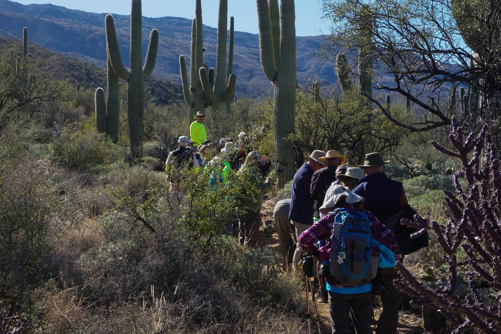
Barry's Group


Mike's Group 

Barry's Hike Data 


All trails map of Garwood, Douglas Spring, and Carrillo Trails Hike

Garwood Loop - Pictures and description

National Park Service - Garwood Ranch

Summary of Garwood, Douglas Spring Loop. A very scenic hike in Saguaro National Park East that goes by a dam, climbs along a ridge with magnificent views and loops back to the trailhead.

Directions, distance and time to trailhead: Take I-10 east to Exit 257 and go left on Speedway Blvd. for 18 miles to the end of the road. It is 82 miles and takes 1 hour and 35 minutes.

Google Maps to Douglas Springs Trailhead