Monday, December 2, 2019

December 6, 2019 Romero Pools - Catalina State Park - Romero Canyon Trailhead


Long Hike was beyond Romero pools for another 2 miles. This hike was lead by David up to the Pools then others went beyond. 10 miles
The Medium Hike was to the Pools lead by Jerry.  6 miles. 

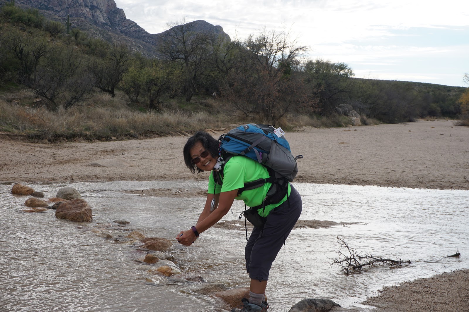
This hike started with slight elevation gain along a sandy trail leading to a stream which we chose to cross by various means. Some hikers used poles to cross the rocks, others used plastic bags over their shoes and others found a part of the stream where there was less water. 


Sutherland Wash

Romero Canyon Trail 


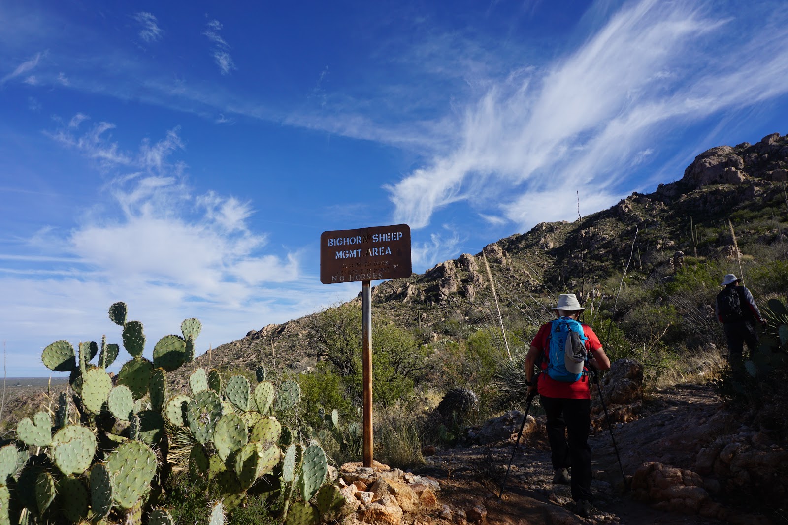
After walking for about 1/2 hour we started and upward climb up the mountain. 
We could see evidence of the construction and replacement of large wooden rails used for water damage control. 


The trail was wet in places from the rainfall 
from the last two weeks but did not hamper our hike. 

This was a view from a little off the trail about 1/2 hour from the pools


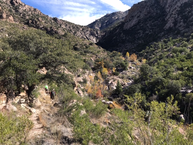
The trail descends into the canyon and then starts to climb again before another descent to the pools. See the graph at the end of the blog for the elevation gains and losses. 


A look back at the Pools 


Beyond the Pools - Long Hike Pictures 


Data From Medium Hike


Hike Description: This hike is an out and back up Romero Canyon Trail to some picturesque pools in the Catalina Mountains. The difficulty increase with the length of the hike. 

Long Hike: To Romero Spring - 10 miles - B+
Short Hike: To Romero Pools - 6 miles - B

Alltrails description and map of the hike

Directions: Take 1-10 south and take Exit 240. Turn left (east) onto Tangerine Road. In 13.5 miles turn right onto Oracle Road (#77), then in 0.2 miles turn left into Catalina State Park. At the Guard House Purchase a car pass ($7.00). Proceed to the parking lot on the left. 61 miles.

We need drivers   Carpools and driving to the trailhead

Google Maps to Romero Canyon Trailhead

Casa Grande Mountain Hike
Hikers for the Casa Grande Mountain leave the parking lot at 8:00 and will be back before lunch. 

Google Maps to Arica Trailhead - Casa Grande Mountain

Google Maps to Peart Road Trailhead to Casa Grande Mountain

Wednesday, November 27, 2019

November 29th, 2019 - Romero Pools and Romero Springs - Cancelled due to Rain


Hike Description: This hike is an out and back up Romero Canyon Trail to some picturesque
pools in the Catalina Mountains. The difficulty increases with the length of the hike. 

Long Hike: to Romero Spring 10 miles - B+

Short Hike: To Romero Pools 6 miles - B


Alltrails description and map of the hike

Directions: Take 1-10 south and take Exit 240. Turn left (east) onto Tangerine Road. In 13.5 miles turn right onto Oracle Road, then in 0.2 miles turn left into Catalina State Park. At the Guard House purchase a car pass ($7.00). Proceed to the parking lot on the left. 61 miles. 


Google Maps to Romero Pools Trailhead

Casa Grande Mountain Hike

Casa Grande Mountain Hikers leaver the Palm Creek Parking Lot at 8:00 and arrive back to the park before lunch. 


Tuesday, November 19, 2019

November 22, 2019 Romero Pools - Catalina State Park - Cancelled

Cancelled due to heavy rains for two days prior. Safety issues with water in the washes and slippery rocks.

Hike Description: This hike is an out and back up Romero Canyon Trail to some picturesque pools in the Catalina Mountains. The difficulty increases with the length of the hike.

Long Hike: To Romero Spring 10 miles - B+

Short Hike: To Romero Pools 6 miles - B


Directions: Take I-10 south and take Exit 240. Turn left (east) on Tangerine Rd.
In 13.5 mi. turn right onto Oracle Rd, then in 0.2 mi. left into Catalina State Park.
At the Guard Shack purchase a car pass. ($7). Proceed to the parking lot
on the left. 61 miles.
32°25’31.86W, 110°54’30.54N

Google Maps to Romero Pools Trailhead

Casa Grande Mountain Hike
Casa Grande Mountain Hike leaves Palm Creek Parking Lot at 8:00 and arrives back at the park before lunch. 


Tuesday, November 12, 2019

November 15, 2019 Picket Post Mountain Loop and Picket Post - Arnett Creek - Out and Back


Picket Post Trailhead 

Long Hike - Picketpost Mountain Loop - The hike starts from the east side of the parking area to the left of the large Arizona Trail sign. This trail climbs to the east and across a wash towards the base of Picketpost Mountain. It is fairly shaded in the first part of the hike. About 1/2 way around the mountain the trail becomes rockier, with less shade. 9.1 miles. Leader - Dave
Short Hike - The out and back hike will start on the same trail as the long hike, stop for lunch and go back the way we came. Leader - Jerry

Casa Grande Mountain Hike

Skip and Penny went on a 4 mile hike at the north side of Casa Grande Mountain.


We can see both groups in this picture


Short Hike Group + Nancy


This large Saguaro marked the end of our short Hike - this was 4.2 miles.
We headed back the way we came.


Picket Post Mountain Loop - Data for Long Hike

Picket Post Mountain Loop - Long Hike

Graph from Picket Post Mountain Loop


Data for Arnett Creek from Picket Post Trailhead - Short Hike

Arnett Creek from Picket Post Trailhead - Short Hike - Out and Back - 8.4 miles

Graph for Arnett Creek from Picket Post Trailhead - Short Hike 

Description of the hikes:

Casa Grande Mountain Hike - Will leave the parking lot at 8:00 and will be back before lunch. Directions to Casa Grande Mountain are on the Test your Ability tab on the Right.
Picket Post Loop Trail from All Trails Website


Driving Distance, Time and Directions to Picket Post Trailhead  
Go right at the park exit and north on Henness Road 0.7 miles to Cottonwood.
Turn right and go east 2.8 miles to N Overfield Road. Turn left and go north 3.9 miles to
Woodruff Road. Go right and east 1.9 miles to Signal Peak road, turn left and go north 2.9 miles to
Hunt Highway. Turn right and go east 6 miles to SR79 at the dead end. Turn left and go north on
highway SR79 for 12.7 miles to Highway 60. Go right on Highway 60 for 9 miles and turn right at the
Picketpost Trailhead sign onto a dirt road. Drive 0.4 miles to a dead-end and Picketpost Trailhead
sign. Turn left and proceed for 0.6 miles. The road turns right into the parking area. It is 55 miles
and took 1:05 minutes. There are pit toilets.

Google Maps to Picket Post Trailhead