

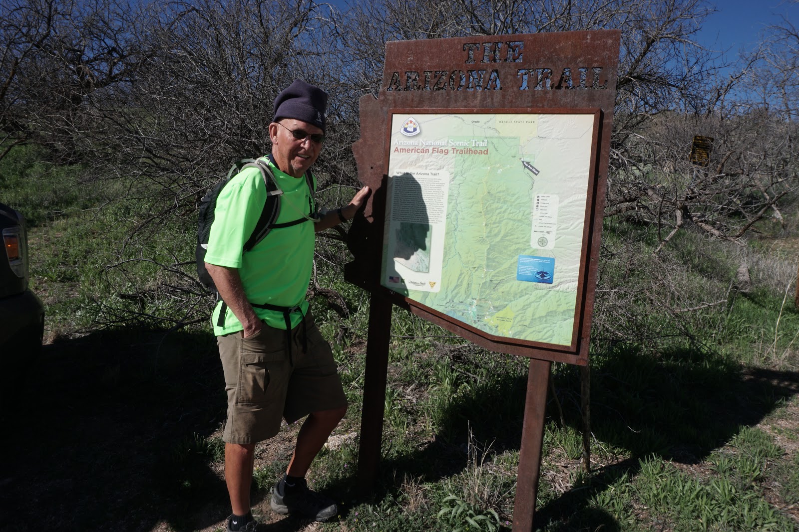
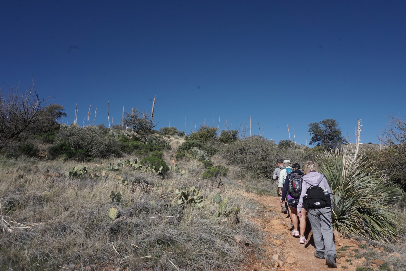
The long hike, lead by John was a lollipop trail. It started on the Arizona Trail at American Flag Trailhead. This trail wound up through high desert landscapes with beautiful views of surrounding mountains in the Catalina's. We found the High Jinks Mine. The mine is filled in, but there is a house and buildings that support the Arizona trail hikers and a display of artifacts used in a movie shot about the mine. Bill Cody mined for Gold in the High Jinks Mine. From there the long hikers followed the High Jinks mine road and trail #639. This trail a washed-out road that went steeply up. We came up to a ridge with a viewpoint of the Biosphere and Saddlebrook areas. We continued to hike up on this trail which lead to the Junction of the Cody Trailhead and the Arizona Trail. At this viewpoint, we could see Picacho peak.
The medium hikers, lead by Jerry, stayed on the Arizona Trail and did an out and back hike. They arrived at the Junction of the Cody Trail at the same time as the long hiking group.
Both groups went down the Arizona Trail and met for lunch at an outcrop of rocks. We both returned down the Arizona Trail to the trailhead. Mileage was 7.7 for the long group and 7.1 for the medium group.
This hike has beautiful views, interesting shrubs and flowers. We felt like we were on top of the world.





 |
| 200 Miles from the Start of the Arizona Trail. It starts at the Boarder of Mexico. |
 |
| Mexican Manzanita - this shrub has a smooth dark red bark |


Picture at the High Jinks Mine from the Medium Hike


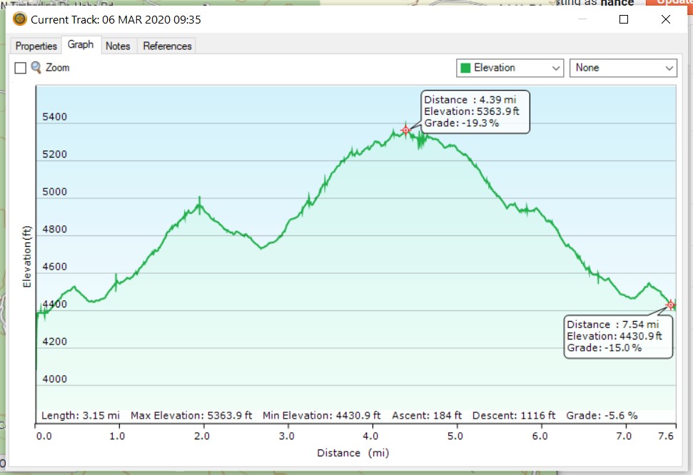

American Flag Trail (American Flag Ranch Trail) near Oracle
This hike is a segment of the Arizona Trail which starts at the American Flag Trailhead just off the American Flag Ranch Road. It is located in the beautiful Catalina Mountains.
Medium hike - Out and back - 7 miles. Long hike - Loop approx. 8 miles.
American Flag Trail - Arizona Trail Segment
Directions: Take I-10 east to exit 219 (Picacho Peak) and turn left under the freeway. Go to the frontage road at the stop sign before the train tracks and then turn right. Follow the frontage road for about four miles to Park Link Drive and turn left. Follow this road 18 miles to Highway 79 and turn right. Go 10.3 miles to Highway 77 and turn left. Go about 10 miles and turn right onto American Avenue. Proceed through the town of Oracle until you come to the Mount Lemmon Road and turn right. (There is no advance warning for the turnoff but there is a green sign right at the turnoff.) Follow the road for about four miles to American Flag Ranch road, and turn right at the street sign for American Flag Ranch Road. There is a wooden archway with a sign and a parking lot on each side of the road. Park on the right side of the road. No facilities at the trailhead.
Casa Grande Mountain Hike
Casa Grande Mountain Hike leaves the Palm Creek Parking Lot at 8:00 and arrives back to the Park before lunch. Bring Lots of water as it may be a hot day.
Next Hikes
March 13, 14, and 15th Chiricahua Hikes - Near Wilcox, AZ. Overnight Hike. Make sure you book your hotel room at Sure Stay Plus - Best Western at Willcox. Make sure you secure a ride. We leave from Palm Creek Parking Lot at 8:00 Friday. Map of Chiricahua National Monument
Friday, March 13 There will be a Casa Grande Mountain Hike at the same time as usual.
Friday, March 20 - Picacho Peak - Sunset trail prior to the Wrap-up Picnic at the Park. We will be back by about noon or 12:30.
Friday, March 20 - 1:00. Wrap up Picnic at the Sports Complex. Food and drinks provided. Cost $5.00. Nancy’s cell: 403-896-9899
Note: These hikes are designed to be an outing, not a race. Hikers are encouraged to hike together, socialize, and enjoy the fresh air and exercise, stopping as necessary to rest. To assure all hikers are accounted for, drivers will make sure that all the same hikers they take return with them.


